Spring flows highest in decades ; ENVIRONMENT
The Owen Sound Sun Times
Tue Jun 3 2014
Page: A1
Section: News
Byline: DON CROSBY, SUN TIMES CORRESPONDENT
Winter snowfall and unusual spring weather created conditions that set records in parts of the Saugeen watershed, but without reports of serious flood damage.
The combination of abundant and persistent snowpack, the lack of winter snow melt and consistently cooler than normal temperatures meant the snow cover was still significant by the time above-freezing temperatures arrived in mid April.
Water flows recorded at Walkerton on April 14 of 450 cubic metres per second were the eighth highest since records began being kept in 1915. The last time the flow was that high was in 1977, said Gary Senior, senior manager of flood warning and land management.

At Hanover, the peak flow of 204 cm/s on the main Saugeen River was the highest since data collection started there in 1983. Oddly enough it occurred a day after Walkerton’s highest flow, even though Hanover is upstream of Walkerton.
“The delayed response at Hanover was due to gradual loss of the remaining snow in the upper watersheds, particularly from wooded areas,” Senior told a recent Saugeen Conservation board meeting.
Flows on the Teeswater River at Bruce County Rd. 20 peaked at 86 cm/s, the highest for that site since a measurement gauge was installed 28 years ago.
Although river ice throughout the Saugeen watershed was thick and intact all winter, most of it had flushed out of the system just before peak flows arrived.
Had the river ice still been in place during mid-April’s peak flows, flooding could have been much worse, Senior said.
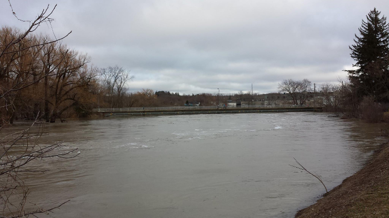
In Walkerton flooding occurred in the downtown north of Durham St., the town’s main east/west corridor running parallel to the Saugeen River. But that flooding wasn’t a result of the river overflowing dikes.
Local drainage from rainfall and snow melt accumulated behind the dikes and was unable to escape, while elevated river levels sealed off storm sewers safety valves.
Although the 2014 flood was noteworthy, Senior said it is important to keep it in perspective.

For Walkerton, the peak flow of 450 cubic metres per second is still well below the highest maximum of 640 cm/s that occurred in 1948. There were seven other larger floods than the one in 2014 since records were kept.
Water levels stayed well below the top of flood control dikes at Paisley, Walkerton and Durham. Some buildings and properties were flooded in rural areas and although there was some disruption, large scale damage was absent, Senior said.
He said without the authority’s planning and program which regulates development in low-lying areas susceptible to flooding, it’s probable that damages from this spring’s flood would have been much higher.
Without the flood control dikes, some communities would have suffered much more extensive inundation.
Senior said the Greenock Swamp, which acts as a gigantic sponge, helped to reduce flooding in the Paisley area.
“If we didn’t have that wetland the flooding in Paisley, even with the dikes, would have been way, way worse. The wetland slows it down so the Teeswater (River) doesn’t flood as bad as it would,” he said.

